Blender terrain workflow notes
Here are some personal notes for how to make elevation models using Blender.
- install the BlenderGIS plugin.
- (optional) import geotiff with
- import using geotiff “DEM as a displacement texture”.
- Scale the model down by a factor 1000. (km to m.) the dome at EGRIP).
- Offset the model so that (0,0,0) is a point of interest. E.g. the dome.
- Decide on a vertical scaling
- Tune the models subdiv modifier to have sufficient resolution for the viewport/render. You can use e.g. loop cuts to have non-uniform resolution
- Add a sky texture to the World. That will also be the light source. ( Delete other lights)
- Switch to Cycles renderer
- Place the camera.
- Add a snow-material to the model (using the shading tab).
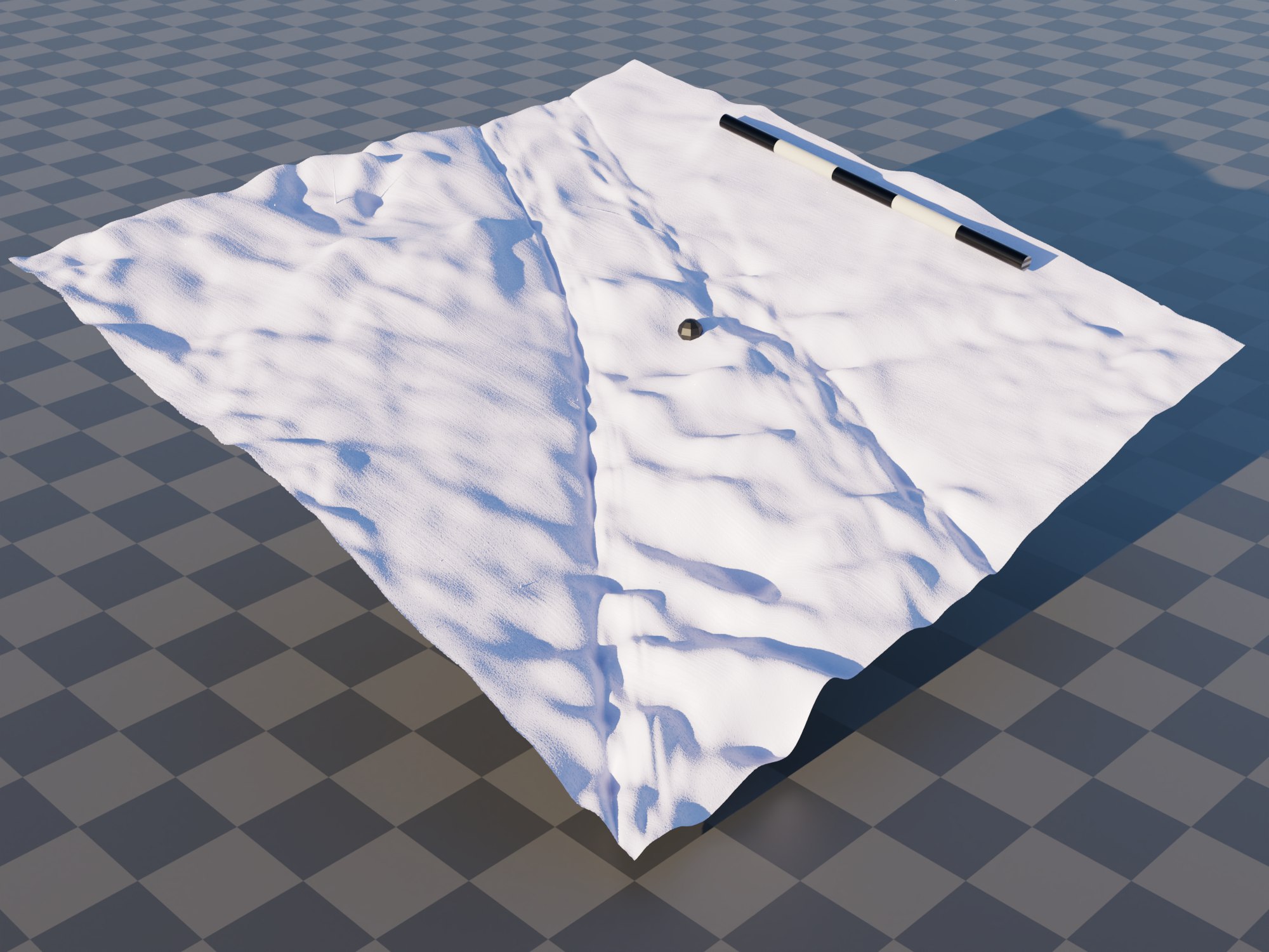
In the render above i used a coarse UV sphere for the dome, and a cylinder for the scale bar. The ground-plane was added with a 10km checker board texture.