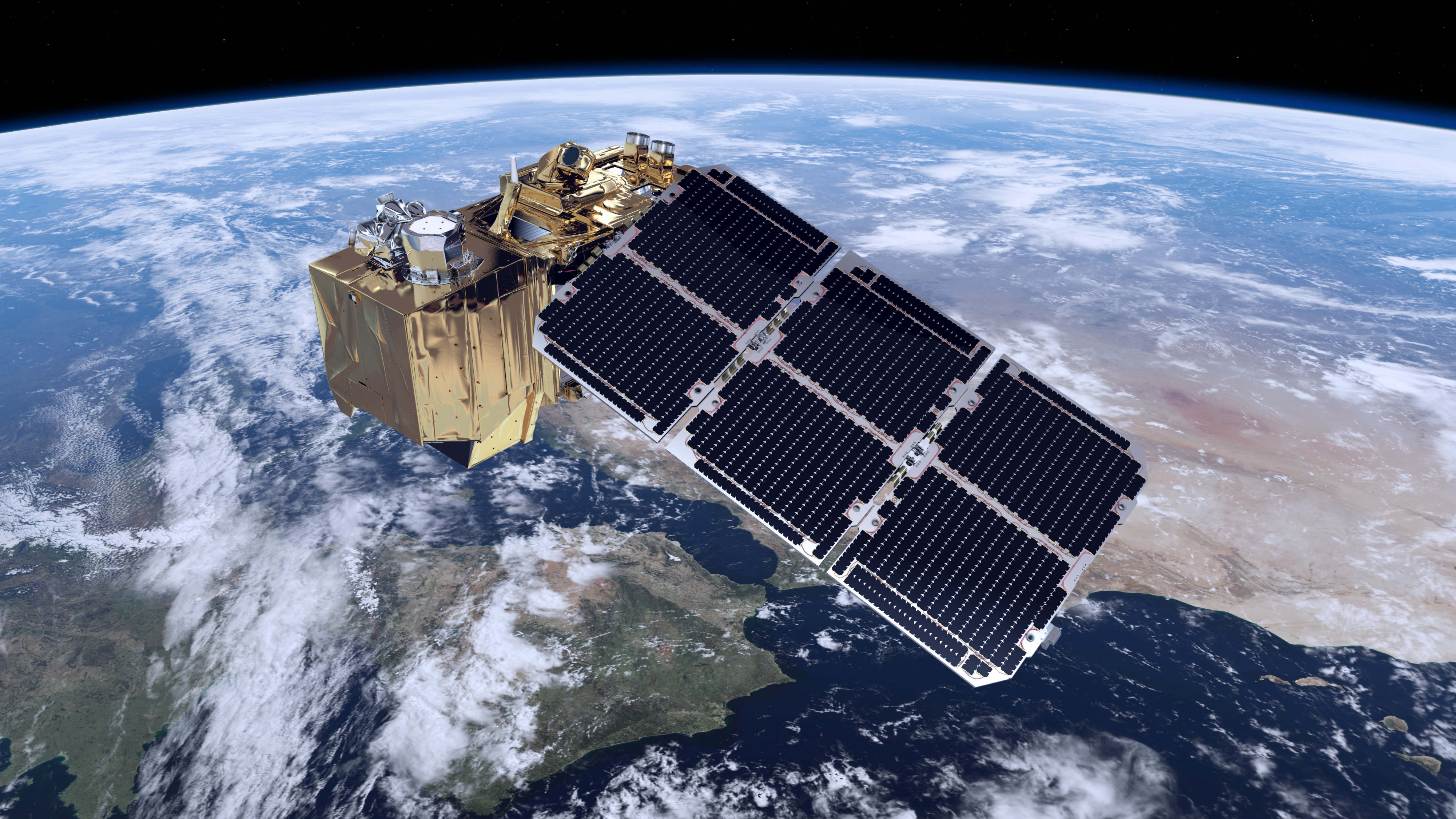
Remote sensing of the ice sheets and machine learning
Modern satellites provide an unprecedented view of the Greenland and Antarctic ice sheets. However, many important variables remain only sparsely observed in the field. Machine learning offers new opportunities to combine remote-sensing observations, physical understanding, and limited ground measurements to improve our understanding of ice-sheet processes.
This project theme is intentionally broad and aimed at students interested in machine learning, artificial intelligence, geospatial analysis, or remote sensing. Together we can define a project that matches your interests and background.
Potential research topics include estimating or predicting:
- Snow accumulation rates.
- Surface mass balance.
- Snow and firn temperatures.
- Surface albedo.
- Firn properties and internal structure.
- Melt occurrence and meltwater production.
- Ice-sheet facies and snow zones.
Projects may involve a variety of machine-learning approaches, including regression, classification, deep learning, spatio-temporal modelling, uncertainty estimation, and physics-informed machine learning. Depending on the topic, you may work with satellite imagery, climate-model output, field observations, or combinations thereof.
A recurring challenge in ice-sheet applications is that ground-truth observations are sparse and unevenly distributed. Developing methods that can learn useful relationships despite limited training data is therefore often as important as the prediction problem itself.
Several ongoing projects in the group provide opportunities to connect student projects with active research. In particular, estimating snow accumulation over the ice sheets is currently a major focus area within PICE.
If you are interested in applying machine learning to real scientific problems, but do not already have a specific project idea, this could be an excellent starting point for a conversation.