Inferring firn density from radar observations
The density structure of firn controls how snow is transformed into glacial ice and plays a key role in interpreting satellite observations of ice-sheet elevation change. Unfortunately, direct density measurements require firn cores, which are expensive and spatially sparse. Radar observations offer the possibility of estimating firn density over much larger areas.
Radar waves travel through firn at speeds that depend on density. Radar sounding therefore contains information about the density structure of the near-surface firn layer. The challenge is to extract that information by solving an inverse problem: given a radar observation, can we determine the firn-density profile that produced it?
In this project you will work on methods for retrieving firn-density profiles from radar observations. The project combines glaciology, numerical modelling, inverse methods, and remote sensing.
A central challenge is that many different density profiles may produce very similar radar signals. The project therefore focuses both on developing inversion methods and on understanding their uncertainties and limitations.
Possible project directions include:
- Developing and testing inversion methods for firn-density retrieval.
- Investigating which aspects of a density profile can be resolved from radar observations.
- Quantifying uncertainty and non-uniqueness in the inversion.
- Improving computational efficiency of the forward and inverse models.
- Combining radar observations with firn-densification models.
- Exploring machine-learning approaches for inversion and emulation.
The workflow typically consists of three stages:
- Forward modelling: Simulate radar propagation through firn using realistic density profiles.
- Synthetic experiments: Test inversion methods on artificial datasets where the true density profile is known.
- Real-world application: Apply the methods to airborne radar observations and evaluate the results.
An important advantage of this project is that inversion methods can first be tested in a controlled virtual environment. Firn-density profiles generated by the Community Firn Model provide synthetic “ground truth” datasets that allow rigorous validation before moving to real observations.
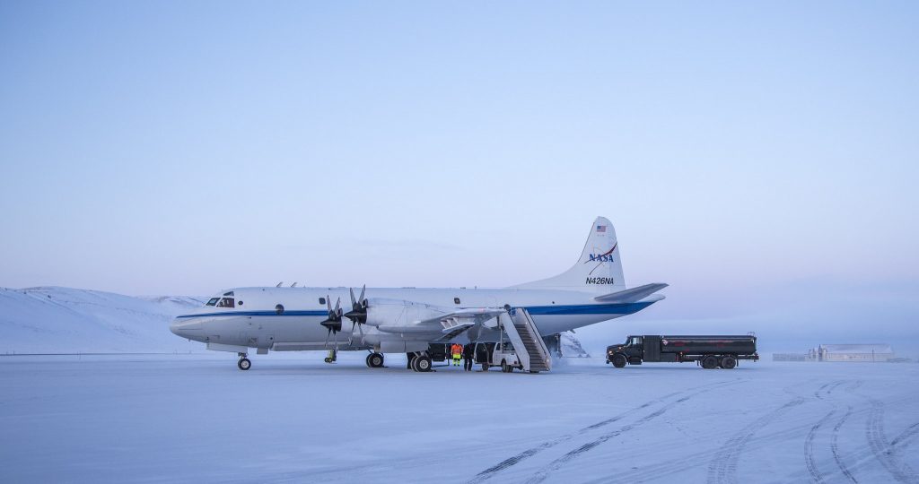
The methods developed in this project have already been tested on both synthetic firn profiles and radar observations collected during NASA’s Operation IceBridge campaigns.
Methods
- Inverse modelling
- Radar wave propagation
- Numerical optimisation
- Uncertainty quantification
- Python programming
- Glaciological data analysis
Relevant resources
- RadSPy radar forward model
- Community Firn Model (CFM)
- NASA Operation IceBridge radar observations
- SUMup firn-density database
Previous student projects
- John Axel Persson (MSc): Inversion of radar observations for firn-density estimation.
- Søren Gundesen (ongoing): JAX implementation of RadSPy and development of differentiable radar forward models for advanced inversion methods.