Accelerating ice flow at the onset of the Northeast Greenland Ice Stream
Deep in the interior of the Greenland ice sheet, ice flow is speeding up — but not due to recent changes in climate.
Sep 23, 2022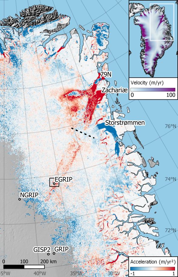
Deep in the interior of the Greenland ice sheet, ice flow is speeding up — but not due to recent changes in climate.
Sep 23, 2022
As we warm our planet, oceans expand, ice on land melts, and sea levels rise. On century time scales, we find that the sea level response to warming can be characterized by a single metric: the …
Feb 2, 2020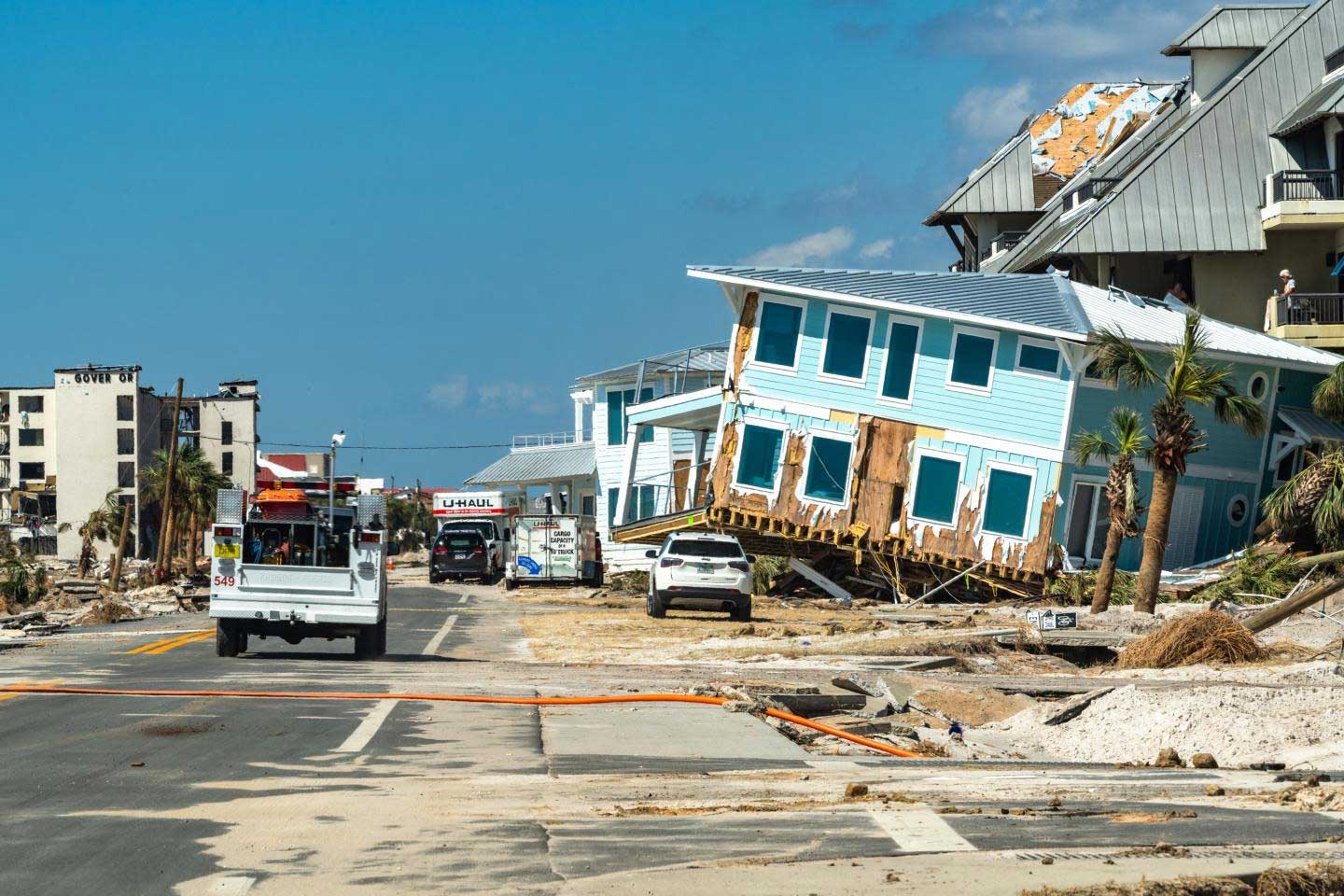
We present an approach to normalize hurricane damage, where damage is framed in terms of an equivalent area of total destruction. This has some advantages over customary normalization schemes, and we …
Dec 1, 2019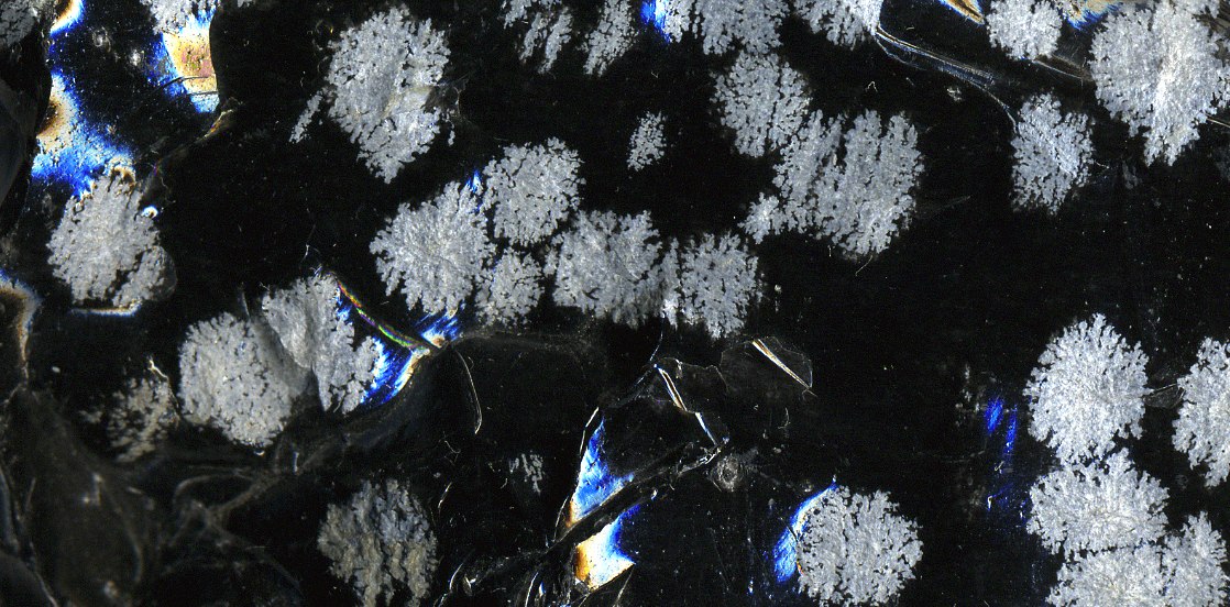
I’ve been experimenting with different ways of converting a whole folder of obsidian markdown files to epub using pandoc. Here are some different options that I’ve explored. The longform …
Aug 25, 2025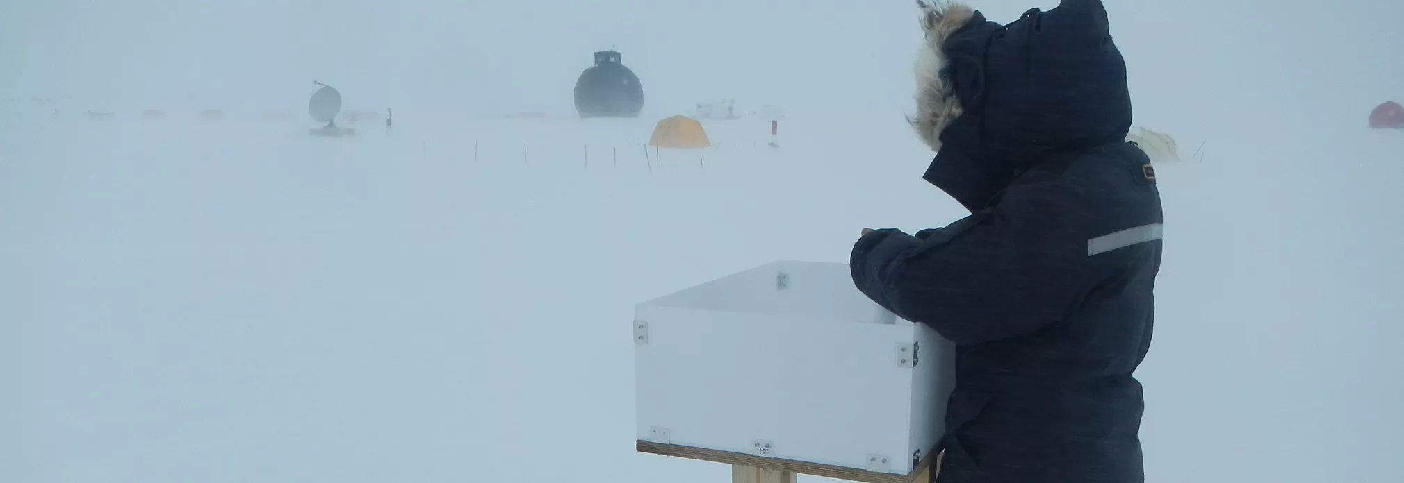
How do you merge and reconcile observations of accumulated snow with regional climate model output from a reanalysis? We propose a way… Abstract Accurate estimates of snow accumulation over the …
Jun 22, 2025
Better estimates of historical Global Mean Sea Level (GMSL) can help us understand many components of climate system. It is a key climate record.
Apr 28, 2025
Realistic ice sheet models are computationally expensive to run. This is a challenge if we want to characterize the full uncertainty for sea level projections.
Dec 12, 2024
How does model choices influence the ice sheet sensitivity? Often ice sheet models are tuned to closely simulate the present day state. However, sometimes this is achieved using crude unphysical …
Dec 10, 2024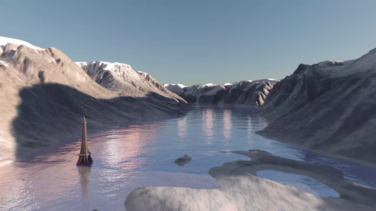
Catalina lake is a gigantic glacier dammed lake on the Renland peninsula, in the Scoresbysund region in East-Greenland. Every 1-2 decades it breaks through the glacier dam and a very large volume of …
Nov 17, 2024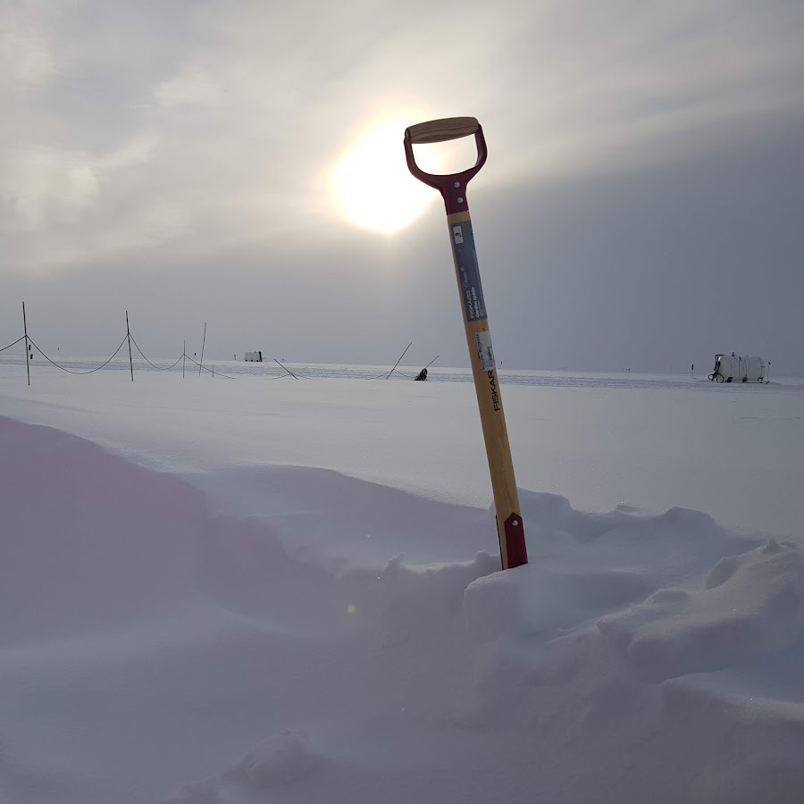
Firn densification is the process by which snow transforms into glacial ice. Snow accumulates and compresses over time, causing the snowflakes to compact and recrystallize. Initially, the snow is …
Nov 17, 2024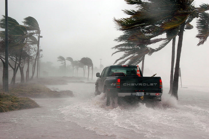
How can we estimate how much extra hurricane damage we can expect due to sea level rise alone?
Nov 17, 2024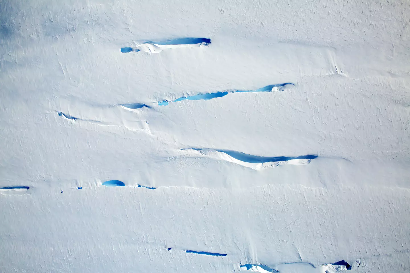
Ice sheet models assume a flow law for solid ice. However, damaged/crevassed ice may will effectively be less viscous than undamaged ice. We need a better way to handle this in ice flow models.
Nov 17, 2024