Sea-level change in the Dutch Wadden Sea
A thorough report on the sea-level change in the Dutch Wadden Sea.
Jul 1, 2018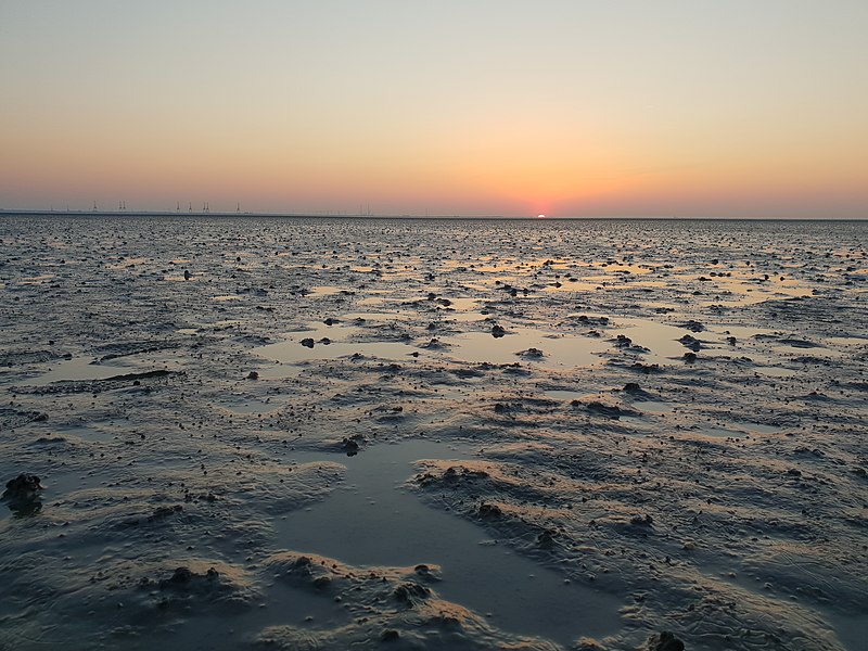
A thorough report on the sea-level change in the Dutch Wadden Sea.
Jul 1, 2018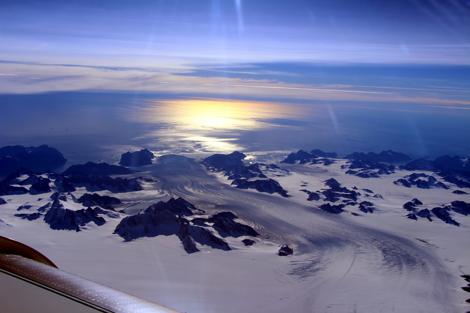
Weather variability has a profound impact on the mass balance of ice sheets, and the equilibrium volume of ice sheets. We illustrate this in a simple ice sheet model and find that the equilibrium ice …
Jan 1, 2018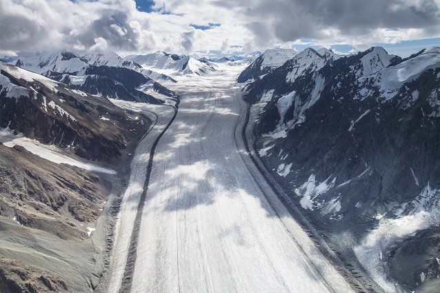
dailyglacier is a twitter-bot that tweets images of a random glacier every day. This page is used to display additional metadata and maps from the bot. Metadata: Metadata refers to the glacier at the …
Sep 25, 2017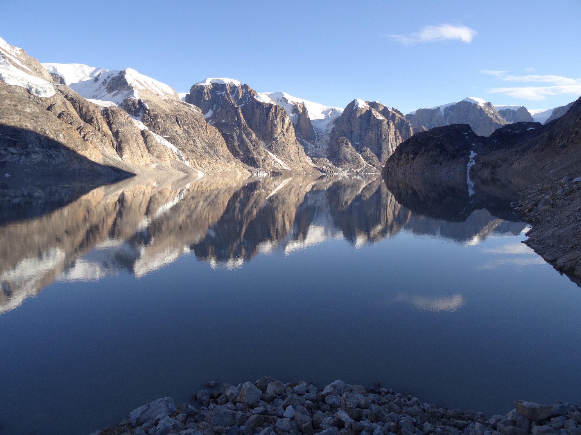
We report evidence of four cycles of outburst floods from Catalina Lake, an ice-dammed lake in East Greenland, identified in satellite imagery between 1966–2016. The lake measures 20–25 km2, and lake …
Sep 6, 2017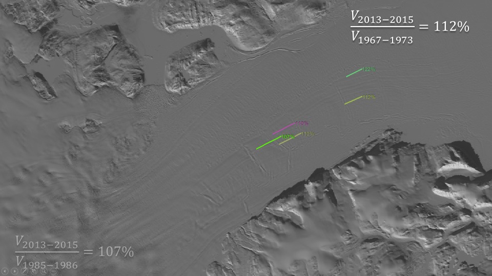
The seasonal response to surface melting of the Northeast Greenland Ice Stream outlets, Zachariae and 79N, is investigated using new highly temporally resolved surface velocity maps for 2016 combined …
Sep 1, 2017
Two degrees of global warming above the preindustrial level is widely suggested as an appropriate threshold beyond which climate change risks become unacceptably high. This “2°C” threshold is likely …
Dec 12, 2016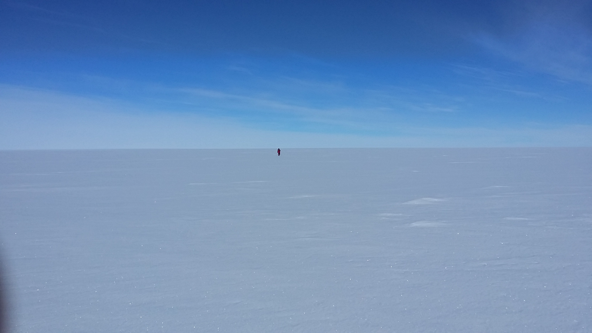
This summer I’ve been doing fieldwork at Eastgrip, doing a GPS survey of a stake strain network, and mapping the surroundings with a fixed wing drone. But I also found some time to compose a …
Aug 11, 2016
I am working with satellite imagery in Matlab. This is way too much data for me to keep on my laptop, and so I keep it on a server somewhere. But this has the major drawback that I cannot as easily …
May 29, 2016
We may be committing ourselves to an eventual complete deglaciation of Earth in a business-as-usual scenario (ECP8.5). The sea level rise from a complete deglaciation would wipe my own country, …
Mar 15, 2016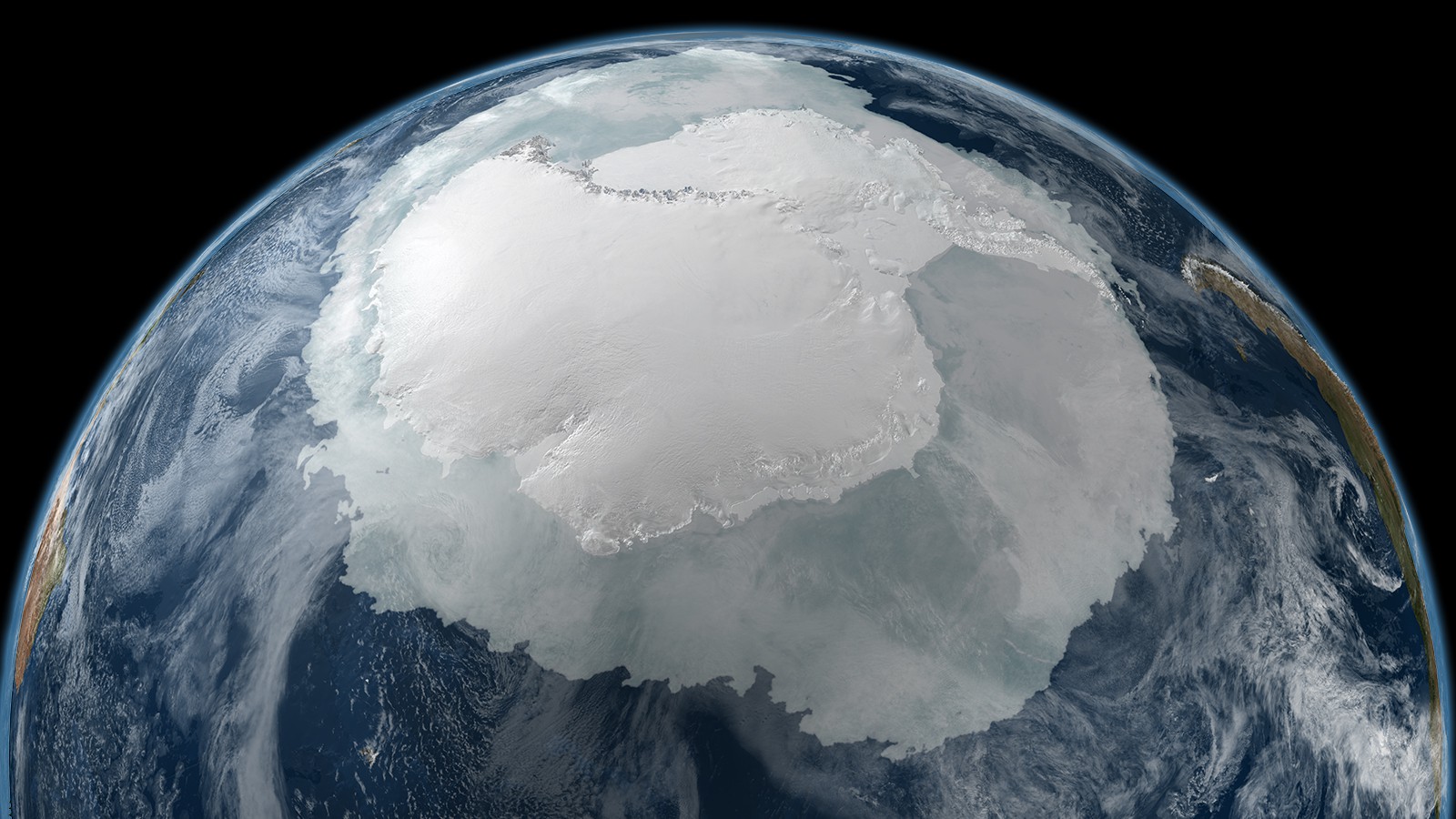
Ritz et al. (2015) have a recent model study of potential sea level rise from Antarctic marine ice sheet instability.
Dec 15, 2015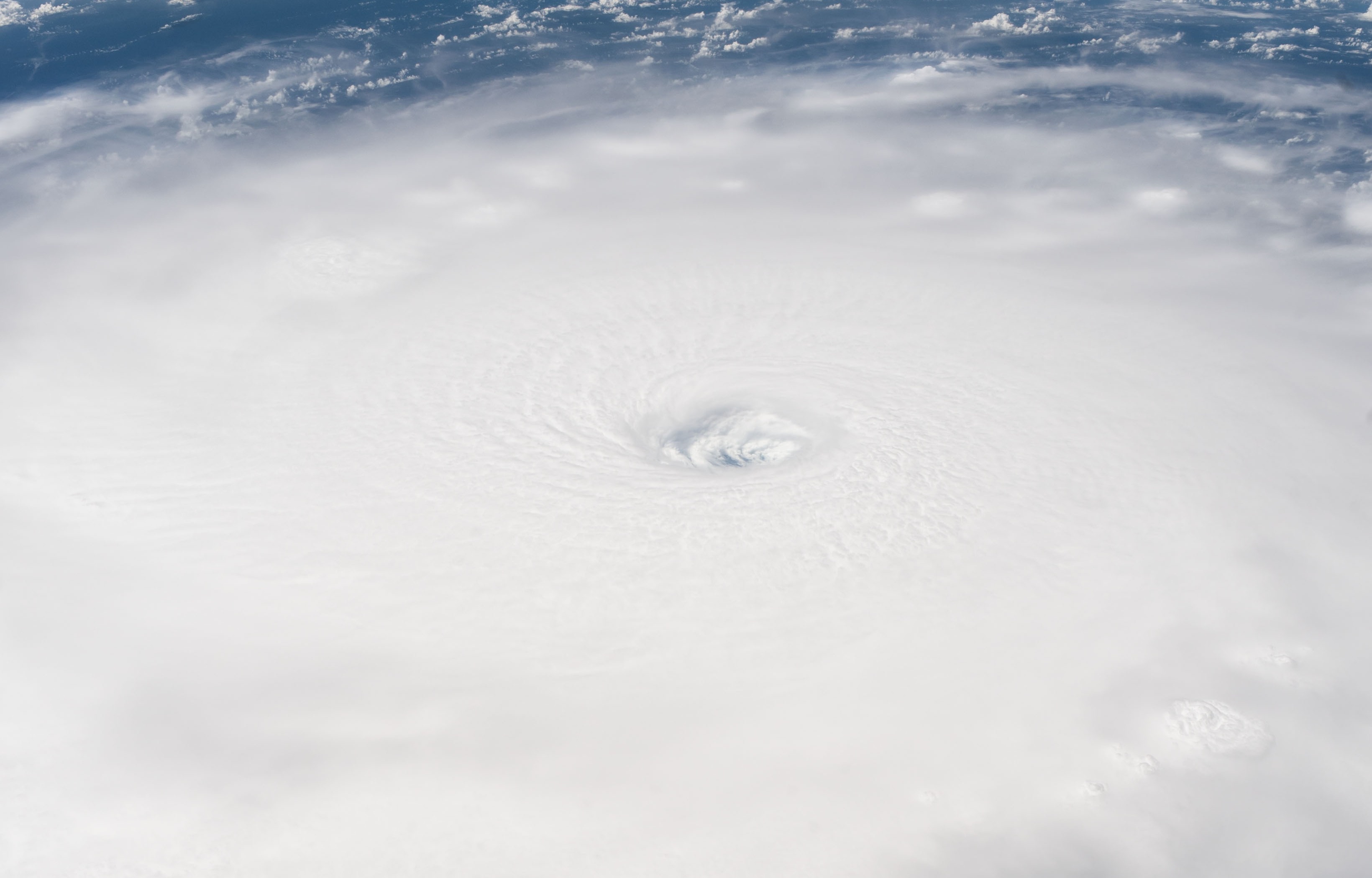
Devastating floods due to Atlantic hurricanes are relatively rare events. However, the frequency of the most intense storms is likely to increase with rises in sea surface temperatures. Geoengineering …
Dec 12, 2015
Take away message: The graph on the right shows that AR5 process based ice sheet projections are optimistic and over confident when compared to views of ice sheet experts. To be fair they do mention a …
Oct 8, 2015